SERVICES
Planning
MTG’s philosophy is that quality planning is the key to a successful project. We believe it is critical to clearly define the goals and expectations of our Clients. With the Client’s goals and expectations understood, we then apply our insights, experience, and technology throughout the planning process with frequent communications with our Clients.
- Boundary/Topographic Surveys
- Digital orthographic aerial photographs
- FEMA Floodplain maps
- Political boundaries or extraterritorial jurisdictions
- Water/sewer infrastructure
- Roadway highway maps
- Other similar data
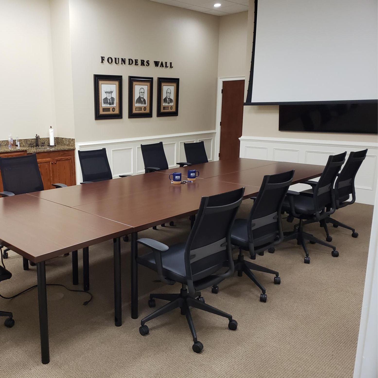
With the above data gathered into a project file MTG routinely conducts “design charrette” sessions with our Clients. In such a session, guided by the Client, MTG produces conceptual designs of the Client’s project in “real time” while sitting together in the room pictured above. With this step completed to the Client’s satisfaction, MTG staff then take the charrette product and produce a conceptual design for the next iteration of the Client’s Project Design. MTG routinely prepares shaded project renderings, both in house and coordinated with third party specialty firms, of conceptual designs for various types of projects desired by our Clients for use in their project marketing and funding efforts.
Land Surveying
- ALTA/ACSM Land Title Surveys;
- Large & Small Boundary Surveys;
- Route Surveys;
- Subdivision Lot Surveys;
- GPS Surveys;
- Topographical Surveys;
- Right-of-way and easement acquisition surveys;
- Aerial and Mapping Control Surveys; and
- Construction Surveys.
Civil Engineering
Civil Engineering is the “general practitioner” of the engineering profession. In any project, civil engineering design is critical to success. MTG’s engineering team has incredibly diverse expertise and project experience that benefit our Clients and the Public. We are committed to maintaining a staff of highly trained professionals, qualified and well informed in the latest technological advances in our fields of endeavor.
MTG serves as a retained civil engineering consultant to many governmental, commercial and industrial clients. In this sphere, our diverse abilities and civil engineering experience give our clients real value for their engineering dollar.
The types of civil engineering projects routinely accomplished by MTG typically include:
- Transportation (Highway, Roadway, Railroad, and Railspur) – TxDOT Certified;
- Commercial Development;
- Residential Subdivisions & Multi-Family Developments;
- Water Systems (water supply/treatment/transmission/distribution);
- Wastewater Systems (wastewater collection/treatment);
- Storm Water Management Systems (regional detention, open channel/storm sewer systems, FEMA floodplain studies, SWPPP Plans/Permitting, etc.);
- Public School System Campus and Athletic Complex Projects;
- City & Community Utilities, “Main Street,” Infrastructure and Park Projects;
- College & University Campus Projects; and
- State/Federal Grant Application Based Projects.